

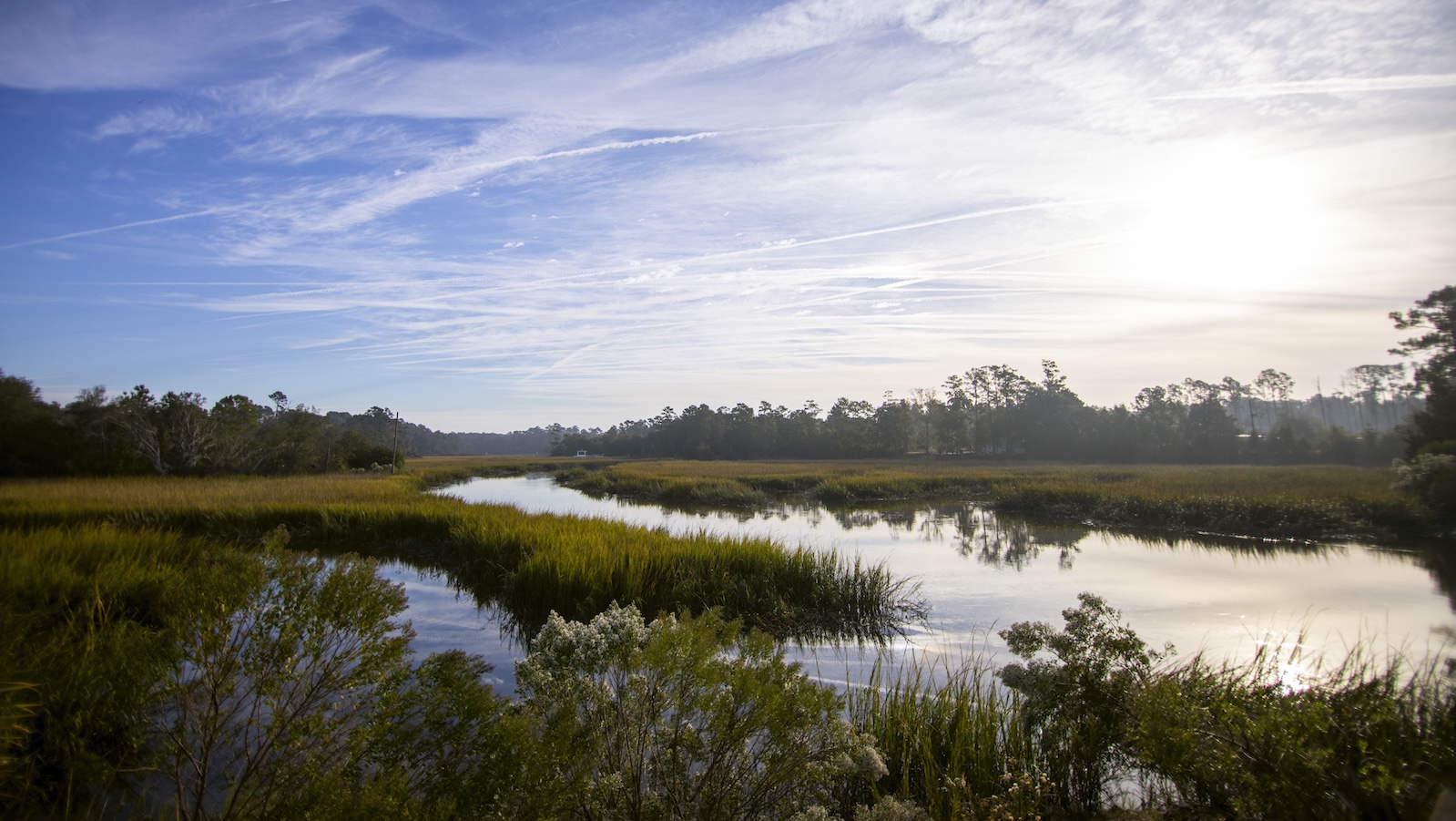
Georgia’s coastal marshes face mounting pressure from rising sea levels, and a coalition of conservation groups, scientists, government agencies, and local communities has developed a plan to address the challenge. The state contains more than a third of the connected marsh habitat along the Southeastern U.S. coast, comprising hundreds of thousands of acres that serve as critical buffers against storms.
Traditional erosion control methods, such as concrete bulkheads and walls, have proven ineffective in the region. Local officials are instead turning to living shorelines that restore marsh grasses naturally, allowing their root systems to stabilize the soil. This approach was demonstrated near Midway, Georgia, where county leaders are working to repair areas experiencing significant land loss from tidal erosion.
The new action plan identifies a fundamental problem: while salt marshes are naturally equipped to persist in twice-daily tidal flooding, they require space to migrate inland as water levels rise. Projected sea level increases of 1 to 2 meters over the next 75 years in Georgia will force marshes to shift their locations. However, when marshes encounter developed land, roads, or buildings, they have nowhere to expand, creating vulnerability for both the ecosystems and human infrastructure.
The initiative has identified more than 56,000 acres in Georgia where marshes are likely to migrate that currently remain open to development. Rather than imposing binding restrictions, the plan serves as a roadmap to help landowners and officials make informed decisions about land use. Advocates emphasize the importance of considering long-term coastal resilience alongside short-term development pressures, allowing marshes the natural flexibility to adapt to changing conditions.
Article Attribution | Read More at Article Source
Article summary produced by Claude AI