

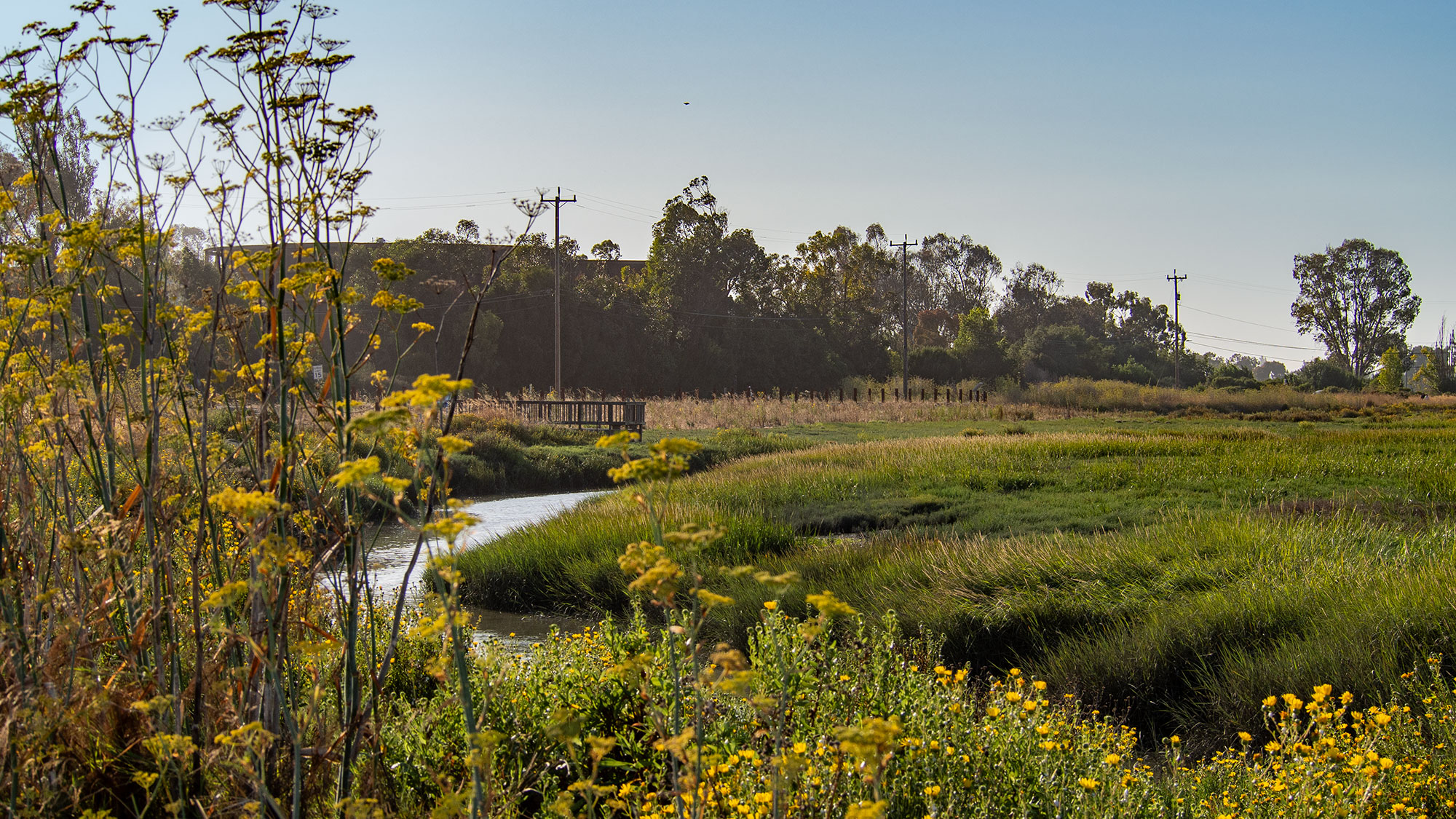
The Palo Alto Baylands Nature Preserve is home to a newly constructed horizontal levee, also referred to as a living levee, representing a different approach to flood mitigation infrastructure. Unlike conventional levees that feature steep embankments or riprap-clad seawalls, this pilot project incorporates over 35 species of native plants and spreads added height gradually across a wider area, allowing it to blend into the estuary landscape.
The design principle behind the horizontal levee mimics how natural estuaries interact with water. Rather than using steep faces and large rocks to defend against wave action, the horizontal levee features a flat, gradual slope covered in dense vegetation. Waves break on this vegetated slope similarly to how they behave on natural beaches, providing flood protection while maintaining an appearance consistent with the surrounding environment.
This project is part of a broader trend in the Bay Area toward green infrastructure for flood mitigation and habitat restoration. The Oro Loma Horizontal Levee near Hayward, completed in 2017, was the first of its kind, and approximately a dozen similar projects are now in various stages of planning and development around the Bay. The Palo Alto pilot is distinctive as the first to connect directly to the Bay hydrologically, with piping linking it to the adjacent Wastewater Treatment Center. This connection allows treated wastewater to irrigate the plants, which remove nitrogen from the water before it filters into the Bay, providing an additional water quality benefit beyond flood protection.
The project also addresses habitat restoration, particularly benefiting the salt-marsh harvest mouse, an endangered species that requires specific vegetation and conditions to survive changing tides and climate conditions. Over the next five years, researchers will monitor both qualitative benefits such as recreational use and quantitative measures including biodiversity and water quality impacts. The 500-foot-long pilot project, while not providing complete flood control for the Baylands, generates data that could support future expansion of green infrastructure approaches in the region as sea levels are projected to rise substantially over the coming decades.
Article Attribution | Read More at Article Source
Article summary produced by Claude AI