

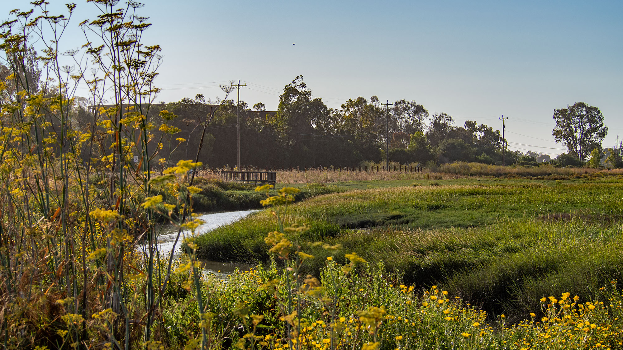
A pilot project at the Palo Alto Baylands Nature Preserve is introducing a novel approach to flood protection that differs fundamentally from traditional levee construction. Rather than steep, barren embankments, this horizontal levee features a gradual slope planted with over 35 species of native vegetation, allowing it to blend into the surrounding estuary landscape while still providing flood defense.
The design functions by mimicking natural estuaries, with waves breaking on the planted slope similar to how they dissipate on beaches. This contrasts sharply with conventional levees, which typically use steep faces and heavy riprap protection. The Palo Alto project builds on an earlier model completed in 2017 near Hayward, California, and represents part of a growing trend in the Bay Area toward green infrastructure solutions. Around a dozen horizontal levees are currently in various stages of development throughout the region.
The Palo Alto installation stands out as the first horizontal levee to connect directly to the Bay’s water systems. An innovative plumbing system links the slope to the nearby Palo Alto Wastewater Treatment Center, using treated wastewater to irrigate the levee’s plants. As vegetation removes nitrogen from the water before it filters into the Bay, the project provides additional water quality benefits beyond its primary flood mitigation function.
Beyond flood control and water treatment, the project aims to restore critical habitat for endangered species. The salt-marsh harvest mouse, a small rodent adapted to Bay Area wetlands, stands to benefit significantly from the restored vegetation and appropriate tidal conditions created by the levee design. Scientists expect the project to provide optimal habitat conditions for these endangered animals while supporting broader estuary biodiversity.
Although construction is not yet fully complete, the levee is already functioning as a flood barrier. Researchers from the United States Geological Survey, universities, and local nonprofits will monitor its performance over five years, collecting data on recreational use, biodiversity impacts, and water quality improvements. Results from this monitoring effort may help justify the typically higher costs associated with green infrastructure approaches as sea levels in the region are projected to rise significantly over the coming decades.
Article Attribution | Read More at Article Source
Article summary produced by Claude AI