

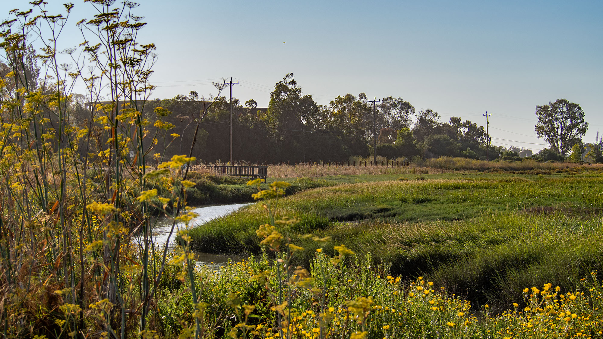
The Palo Alto Baylands Nature Preserve is home to the Bay Area’s newest levee, which represents a departure from traditional flood control infrastructure. Unlike conventional levees that feature steep embankments or riprap seawalls, this horizontal levee, also called a living levee, incorporates over 35 species of native plants and spreads added height gradually across a longer area to blend into the natural estuary landscape.
The design mimics how natural estuaries interact with water, allowing waves to break on a gentle slope vegetated with plants rather than on protective rock barriers. This approach is part of a growing trend in California’s Bay Area of using green infrastructure for both flood mitigation and habitat restoration. The Oro Loma Horizontal Levee near Hayward, completed in 2017, was the first project of this kind and informed the design of the Palo Alto installation. Approximately a dozen horizontal levees are currently in various stages of design and development around the Bay.
The Palo Alto project stands as the first horizontal levee to be hydrologically connected to the Bay. Underground plumbing links the levee to the Palo Alto Wastewater Treatment Center, allowing treated wastewater to irrigate the plants. As the vegetation absorbs water, it removes nitrogen that could otherwise contribute to harmful algal blooms before the water filters into the Bay. This additional treatment provides water quality benefits beyond regulatory requirements.
The horizontal levee design creates conditions that support native species, particularly the endangered salt-marsh harvest mouse, a small cinnamon-colored rodent that depends on specific marsh vegetation for survival. Researchers expect the restoration of vegetation and habitat will provide optimal conditions for these animals and other estuary wildlife. Though the 500-foot pilot project represents only a small portion of the mice’s habitat and does not provide complete flood control for the Baylands, it will generate valuable data over the next five years through monitoring by United States Geological Survey researchers, universities, and local nonprofits.
The project has been in development for nearly a decade and remains not fully operational due to plumbing connection complexities. However, the gentle slope is already functioning as a flood barrier. With sea level in the Bay Area projected to rise between 3 and 6 feet by 2100, and more immediate threats from weather systems, such infrastructure is becoming increasingly important for protecting both communities and ecosystems in the region’s low-lying areas.
Article Attribution | Read More at Article Source
Article summary produced by Claude AI