

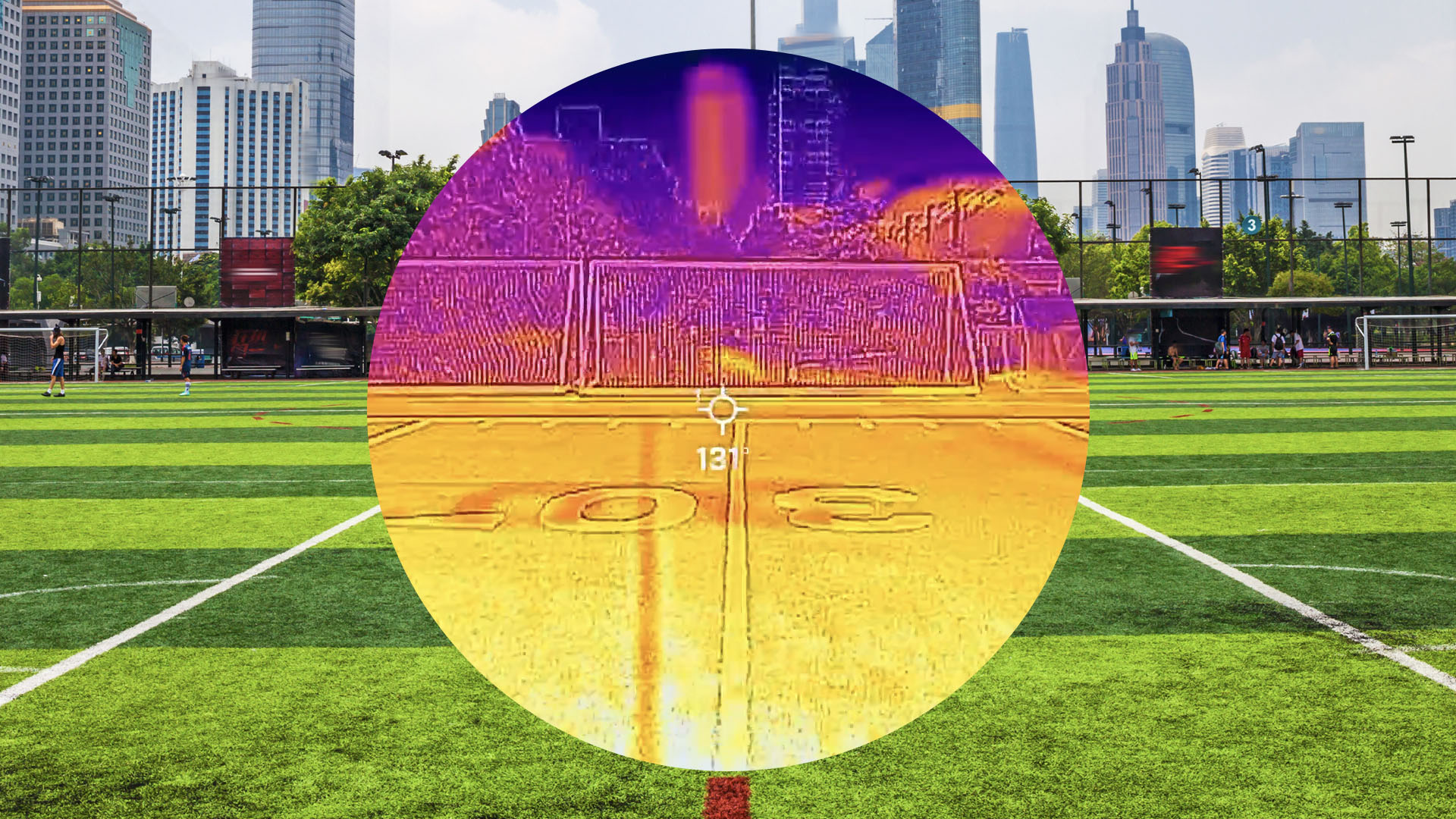
Researchers at Portland State University are using thermal imaging cameras to document temperature disparities across urban areas, revealing that standard weather reports significantly underestimate heat conditions on the ground. Professor Vivek Shandas and his team measured surface temperatures on a football field covered with artificial turf, finding readings approaching 150 degrees Fahrenheit compared to 100 degrees on adjacent natural grass. The plastic turf absorbs and radiates solar energy without the cooling effect of living vegetation, which naturally releases water vapor.
The study found that major urban infrastructure contributes substantially to localized heating. Highways, for instance, register around 120 degrees as thousands of vehicles generate friction heat and exhaust from internal combustion engines. Pavement in sunlight reaches the mid-130s, though temperatures drop by up to 50 degrees in immediately adjacent shaded areas. Downtown Portland’s tall buildings provide cooling through shade, with temperatures around 84 degrees, while less developed neighborhoods with wide roads, minimal tree cover, and low-rise buildings experience significantly higher temperatures approaching 89 degrees.
The thermal imaging work reveals that temperature variations correlate strongly with neighborhood characteristics and socioeconomic factors. Lower-income areas tend to have less tree coverage and more exposed pavement, creating hotter conditions during the day and slower cooling at night. During extreme heat events, these disparities expand dramatically—previous heat waves showed differences of 20 to 25 degrees between neighborhoods during days exceeding 110 degrees Fahrenheit.
Researchers are working to map these variations systematically, planning to install sensors on public transportation to gather data across reliable routes. The findings suggest targeted interventions could help vulnerable populations. Potential solutions include prioritizing tree planting in heat-affected areas, painting roofs white to reflect solar energy, developing urban farms for both food production and cooling effects, and installing shade structures at bus stops. Shandas emphasized that localized solutions must account for neighborhood-specific conditions rather than applying uniform citywide approaches.
As global temperatures rise, these urban heat variations pose escalating public health, economic, and infrastructure challenges. Heat-related illnesses already exceed deaths from other natural disasters, and increasing air-conditioning demand strains electrical grids during peak temperature periods. Understanding the specific thermal characteristics of different neighborhoods is considered essential to developing effective heat mitigation strategies for cities facing warming conditions in coming years.
Article Attribution | Read More at Article Source
Article summary produced by Claude AI