

New York City is nearing completion of a major flood protection initiative launched following Superstorm Sandy in 2012, which devastated the city’s waterfront areas. The project has involved elevating lower Manhattan with gates and berms, rebuilding beaches in Queens, and acquiring properties in Staten Island. Rolling-track flood walls in Manhattan are expected to become operational by the 2027 hurricane season.
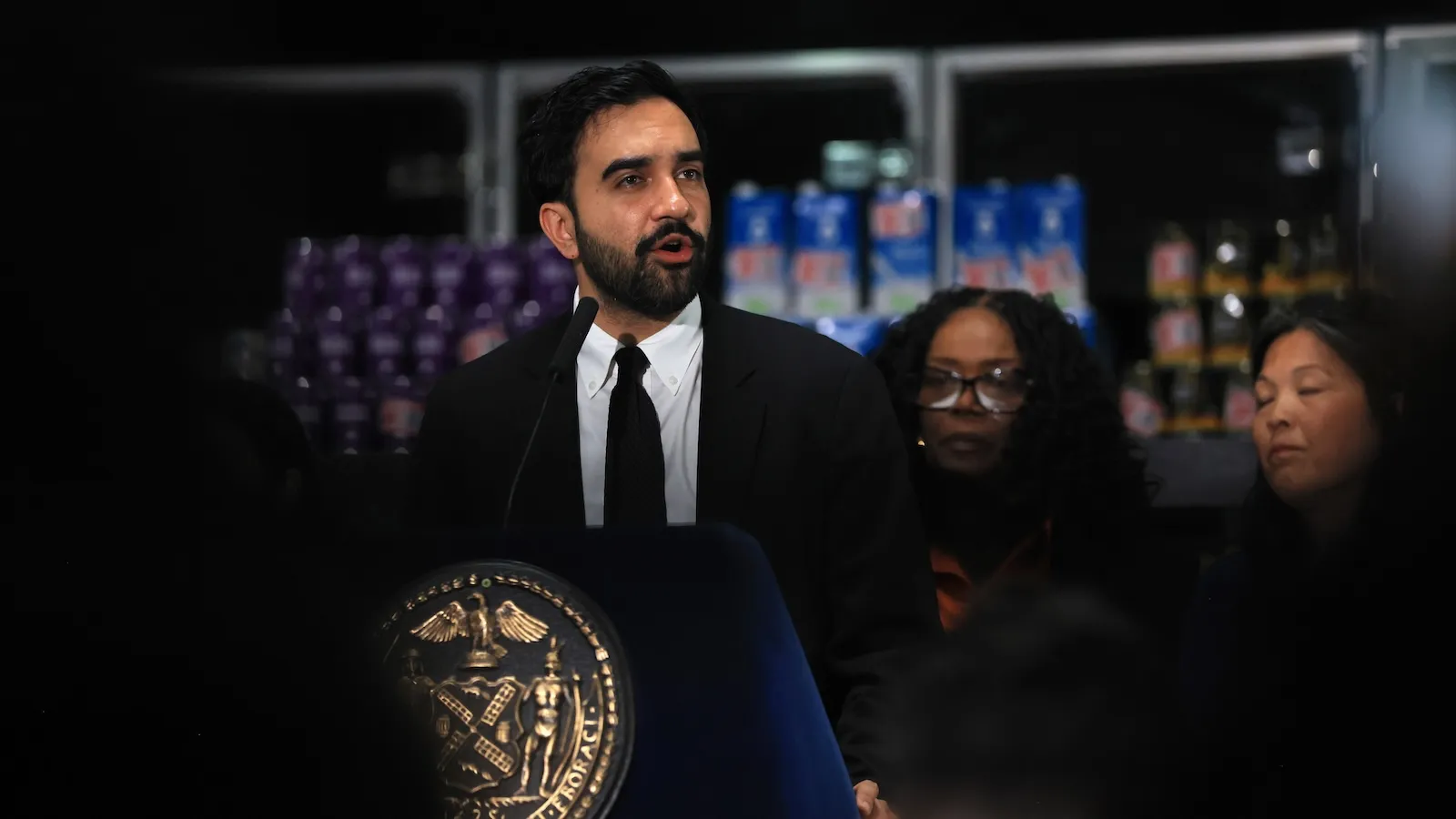
Mayor Zohran Mamdani has announced an expansion of the Bureau of Coastal Resilience, adding nearly 70 staff members to manage the new flood defenses and coordinate storm response efforts. The Department of Environmental Protection, led by new commissioner Lisa Garcia, will oversee the maintenance and deployment of the gate systems. Garcia emphasized that upkeeping the infrastructure represents a significant ongoing commitment.
With more than 500 miles of New York City coastline and vastly different vulnerability profiles across neighborhoods, Mamdani must determine priorities for the next phase of coastal protection. Officials acknowledge they cannot feasibly protect all coastal areas and must decide which projects to prioritize, such as marsh restoration in outer Queens, a coastal park in Harlem, or bulkhead work in Brooklyn. The city plans to begin a comprehensive master plan next year, targeting completion by 2031.
These decisions carry substantial political implications. Neighborhoods like Coney Island, severely impacted by Sandy, have received minimal infrastructure investment compared to Manhattan, raising equity concerns. Similar coastal cities have faced public backlash when proposing managed retreat strategies that would allow some areas to flood rather than fund expensive protections. How Mamdani’s commitment to affordability and outer-borough communities influences these resource allocation decisions remains uncertain at this early planning stage.
Article Attribution | Read More at Article Source
Article summary produced by Claude AI