

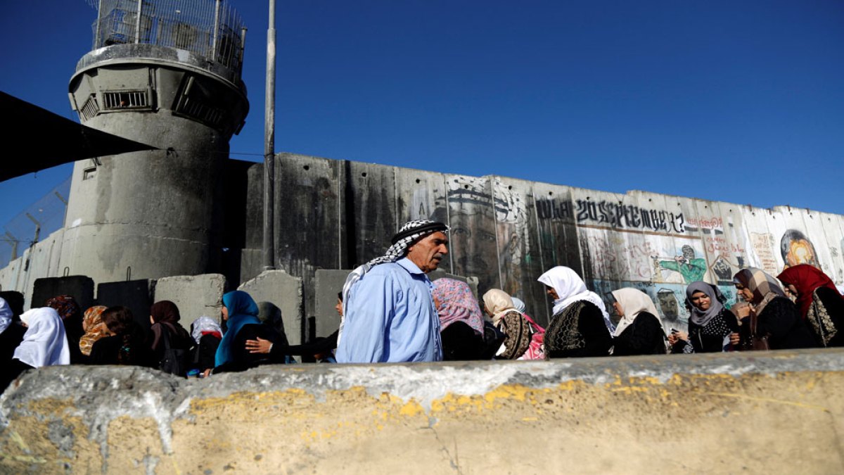
Israel’s Defence Minister ordered a closure of the occupied West Bank that began on Sunday and will remain in effect until Saturday, citing the Jewish holiday of Sukkot. The military recommended the measure, which involves shutting crossings and implementing tighter controls at checkpoints and barriers throughout the territory.
The restrictions will further limit Palestinian access to significant religious sites, including the Al-Aqsa Mosque in occupied East Jerusalem and the Ibrahimi Mosque in Hebron. In the Ramallah and el-Bireh governorate, Israeli forces have blocked roads and sealed entrances to multiple towns, while soldiers have established additional checkpoints in other areas to conduct vehicle searches and identity verification.
The closure particularly impacts the Palestinian workforce, barring most laborers from entering Israel and its settlements except those classified as essential workers. This follows a significant reduction in Palestinian employment in Israel since military operations in Gaza commenced in October 2023. Before that conflict began, approximately 160,000 Palestinians from the West Bank worked for Israeli employers, but this number had declined to roughly 27,300 by mid-2024. Unemployment in the West Bank increased from 12.9 percent in September 2023 to 30.7 percent a year later.
The occupied West Bank contains more than 300 Israeli checkpoints according to the UN Office for the Coordination of Humanitarian Affairs, which form part of 925 obstacles restricting movement for the territory’s 3.4 million Palestinians. These checkpoints frequently force residents to take longer routes to reach work and school, while also impeding access to medical facilities and other essential services across the West Bank and East Jerusalem.
Article Attribution | Read More at Article Source
Article summary produced by Claude AI