

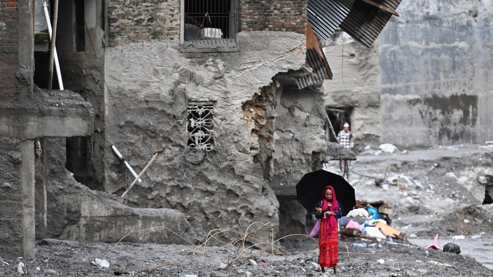
A significant geological disaster occurred on August 26 near the Nepal-Tibet border when approximately seven billion cubic feet of glacial ice and rock detached from a mountainside and fell roughly one mile into a river valley below. The impact generated a rapidly moving surge of water that traveled through downstream communities at speeds around 100 miles per hour, resulting in over 1,300 confirmed deaths and thousands of individuals unaccounted for. The incident represents one of the region’s most severe natural disasters in recent memory.
Scientists attribute the increased frequency of such catastrophic events to ongoing climate change and glacial retreat. As global temperatures rise, glaciers worldwide are shrinking, with approximately one-fifth of ice mass lost over the past century. The destabilization of mountain slopes occurs through multiple mechanisms: retreating glaciers expose unstable silt and rock, permafrost layers that hold slopes together thaw due to warming, meltwater erodes bedrock fractures, and natural ice and debris dams can rupture suddenly. These interconnected processes create conditions for avalanches, landslides, and floods that are difficult to forecast.
Despite technological advances and increased scientific understanding, predicting such events remains extremely challenging. In the Himalayas specifically, thousands of glaciers are distributed across vast, remote, and difficult-to-access terrain with limited available resources. Early-warning systems successfully deployed elsewhere demonstrate what is possible when intensive monitoring occurs. In Alaska, continuous surveillance of glacier-dammed basins has prevented casualties despite annual flooding events. Peru’s decades-long effort to drain high-risk glacial lakes has reportedly saved tens of thousands of lives, and Swiss authorities recently evacuated residents ahead of a glacier collapse.
Emerging technologies offer potential solutions to improve prediction and response capabilities. Seismic networks originally designed to detect earthquakes have shown promise in identifying landslides and glacial floods, with the Nepal event generating readings equivalent to a magnitude 5.2 earthquake. Fiber-optic cables placed across glaciers can detect subtle ice fractures that indicate stability changes. Recent satellite launches by U.S. and Indian space agencies also present monitoring opportunities. However, establishing comprehensive surveillance across all vulnerable mountain regions globally remains economically and logistically unfeasible with current resources and technology.
Article Attribution | Read More at Article Source
Article summary produced by Claude AI