

Hurricane Simon was positioned just off Mexico’s Pacific coast early Sunday morning and was anticipated to make landfall later that day as an extremely powerful cyclone. The storm had intensified to maximum sustained winds of 155 mph, placing it just below the threshold required for Category 5 classification on the Saffir Simpson scale. At the time of reporting, the hurricane’s eye was approximately 60 miles west-southwest of Manzanilla and was moving north-northwest at a relatively slow pace of 6 mph.
Meteorological forecasts indicated that portions of southwestern Mexico could experience substantial precipitation in the range of 10 to 20 inches, with certain areas in the states of Michoacan, Colima, and Jalisco potentially receiving up to 30 inches. Officials warned that such rainfall amounts would generate life-threatening conditions including widespread flooding and mudslides, particularly in regions characterized by steep topography.
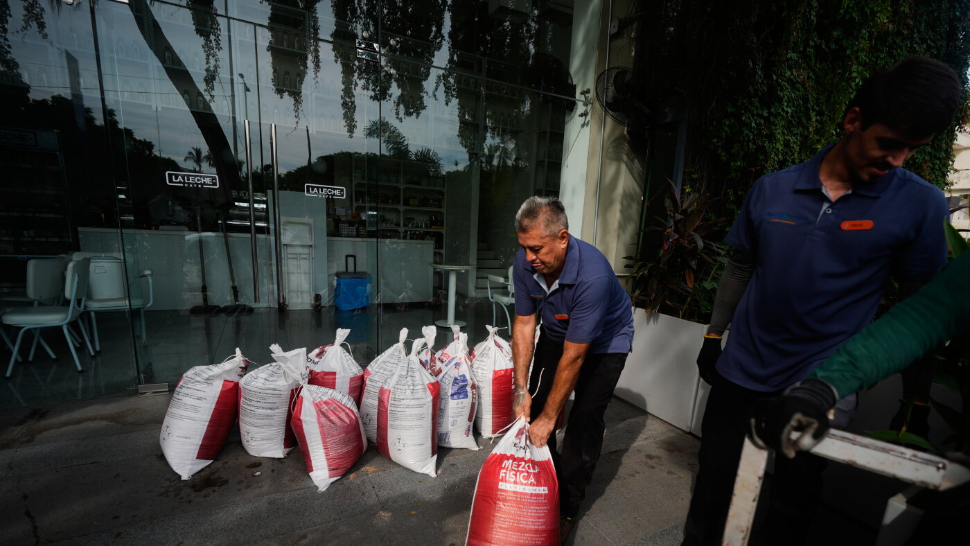
In preparation for the storm’s arrival, Jalisco state canceled classes on Friday and Monday across 22 coastal municipalities and initiated the evacuation of residents from vulnerable areas. Regional authorities also coordinated with the tourism sector in Puerto Vallarta, a major destination attracting U.S. visitors, to ensure workers and guests were sheltered in designated safe zones. Throughout the coastal city, businesses including convenience stores, hotels, and retail establishments were securing their storefronts with protective boarding.
The National Hurricane Center cautioned that a dangerous storm surge would accompany the hurricane near the coast, with large destructive waves expected in areas at and east of the landfall location. Local residents and tourists displayed varying responses to the approaching threat, with some expressing concern about potential impacts while others remained uncertain about the storm’s ultimate effects.
Article Attribution | Read More at Article Source
Article summary produced by Claude AI