

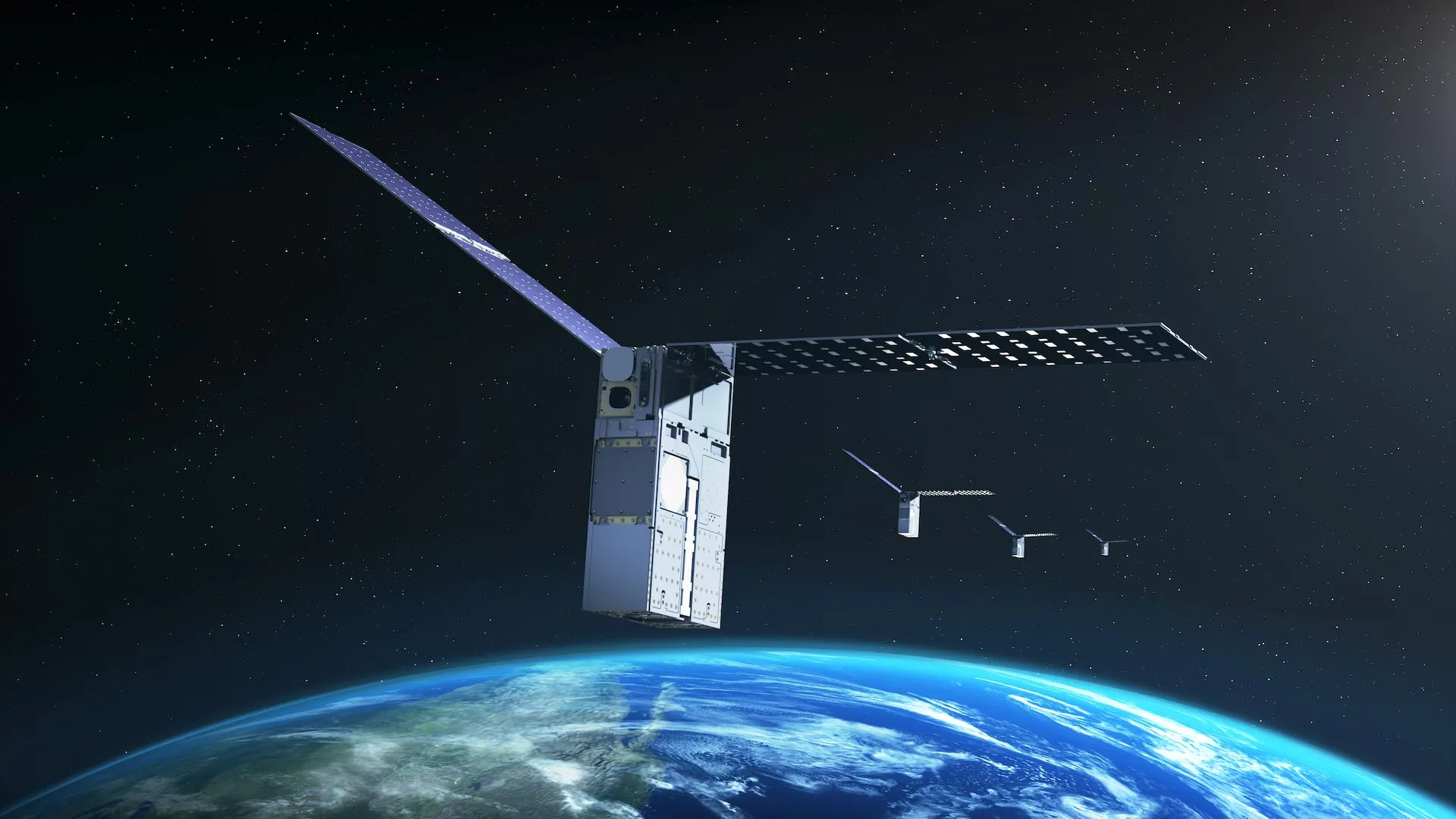
NASA’s Starling mission has achieved a significant advancement in autonomous spaceflight by successfully testing a navigation system that determines satellite position using other objects in space rather than relying on external signals. The technology, called FALCON (Fast Autonomous Lost-in-space Catalog-based Optical Navigation), was developed through a collaboration between NASA and EraDrive, a company that originated from Stanford University research.
The system addresses a critical challenge in space exploration: satellites operating in lunar orbit or deep space often experience weak, unreliable, or unavailable GPS signals. FALCON provides an alternative approach by enabling spacecraft to determine their location through observations of surrounding objects. The payload combines EraDrive’s Era-Core flight software with Starling’s onboard cameras and a catalog of known satellites, allowing the spacecraft to maintain navigational independence while simultaneously monitoring nearby activity and objects.
During recent demonstrations, FALCON’s capabilities were evaluated using Starling’s star tracker cameras, which are standard instruments designed to detect bright objects in space and help establish spacecraft orientation. The system identified other spacecraft and orbital debris observed by the cameras and cross-referenced them against publicly available catalogs of known space objects. Once objects were identified and confirmed, FALCON calculated Starling’s orbital position based on these reference points. In parallel experiments, the system refined orbital estimates for observed objects by comparing a loaded catalog of approximately 20,000 space objects against camera observations, resulting in orbital calculations more precise than the existing catalog data. Over a three-day period, FALCON improved the known orbits of more than 200 objects without ground intervention.
The successful demonstration marks a first for autonomous optical navigation using cameras to determine spacecraft position relative to other objects in space. Officials at NASA’s Ames Research Center noted the technology has broad implications for space traffic monitoring, collision avoidance, and alternative navigation systems. The capabilities are particularly relevant for future satellite networks operating without GPS, distributed science missions requiring precise multi-location measurements, and space traffic management systems seeking to reduce dependence on ground-based tracking.
The FALCON development also illustrates NASA’s involvement in transitioning university research into commercial applications. The work originated as a university-focused technology partnership before evolving into EraDrive’s commercially developed software. Starling, which launched in 2023, will continue expanding the FALCON experiment later this year, with the mission’s four spacecraft sharing tracking information to collectively refine their positions.
Article Attribution | Read More at Article Source
Article summary produced by Claude AI