

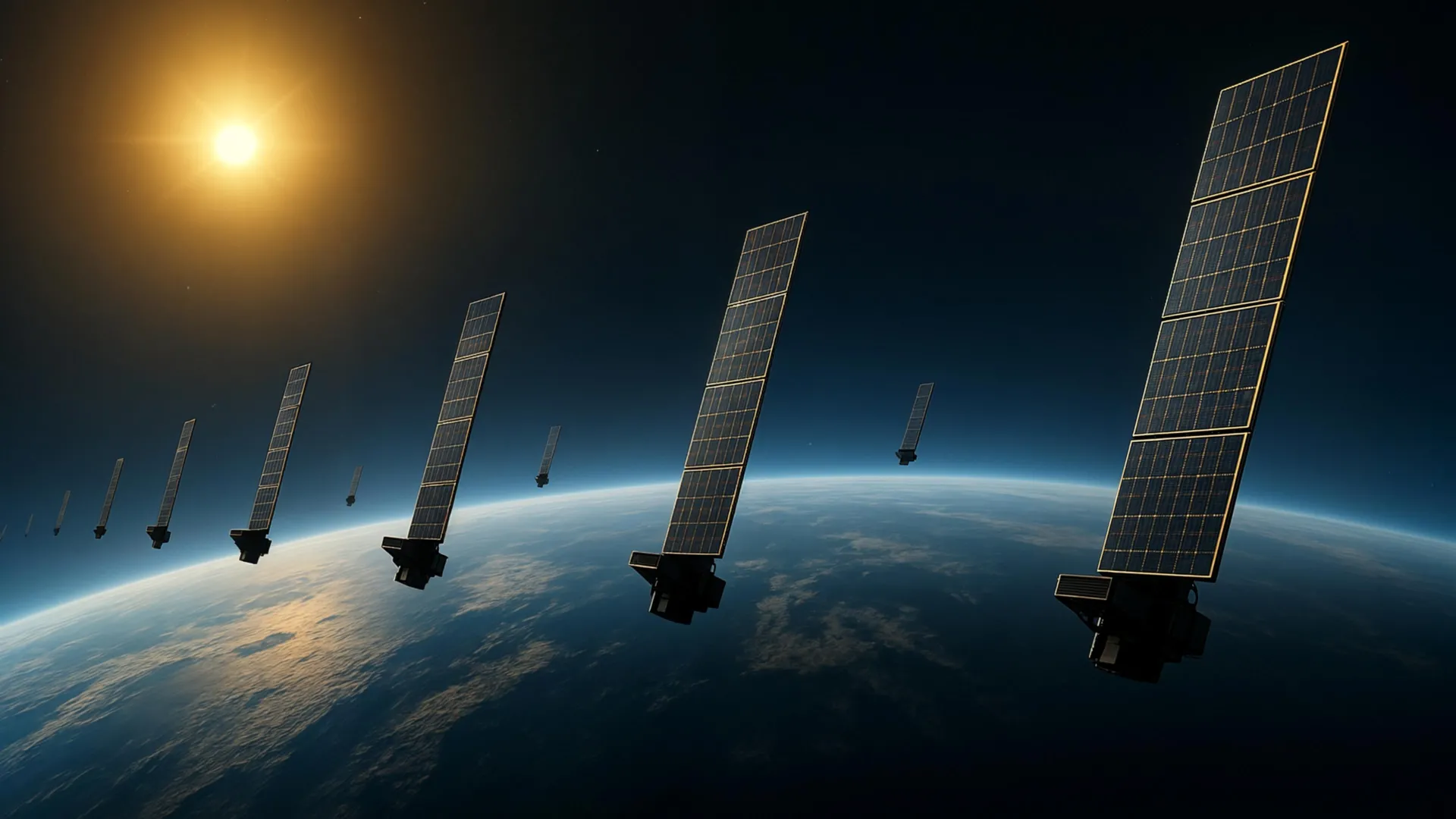
The region of low Earth orbit occupied by satellites and space debris continues to become increasingly congested. At altitudes spanning several hundred kilometers, Earth’s upper atmosphere retains sufficient density to create drag that can alter satellite trajectories. Precise measurements of atmospheric conditions at these heights are considered essential for predicting satellite movement and mitigating collision risks.
The thermosphere, which comprises over 99 percent neutral gas at altitudes between approximately 100 and 1,000 kilometers, has proven difficult to study directly. While the ionosphere’s electrically charged particles are relatively easy to observe due to their interaction with radio waves, the neutral thermosphere presents significant measurement challenges. Scientists recognize that improved thermospheric density data would benefit both atmospheric research and space engineering applications.
Researchers from Kyoto University addressed this challenge by applying tomographic imaging techniques, traditionally used in medical diagnostics, to atmospheric observation. The team analyzed publicly accessible orbital data from approximately 1,200 Starlink satellites operating at roughly 482 kilometers altitude. By studying the gradual orbital decay caused by atmospheric drag, they estimated thermospheric density variations and produced a two-dimensional map showing density patterns across different latitudes and longitudes at approximately 500 kilometers altitude.
The research represents the first tomographic analysis of the thermosphere using satellite data. Results demonstrated strong alignment with density measurements obtained from the European Space Agency’s SWARM satellite constellation, which monitors atmospheric changes along its orbital path. The current work extends previous research by the same team, which had examined how density changed over time and altitude using orbital element data.
As Earth orbit becomes increasingly crowded with operational satellites and debris, more accurate atmospheric density information could enhance collision avoidance capabilities. The methodology may eventually enable real-time atmospheric monitoring around satellites, potentially improving space weather predictions and contributing to more reliable satellite operations.
Article Attribution | Read More at Article Source
Article summary produced by Claude AI