

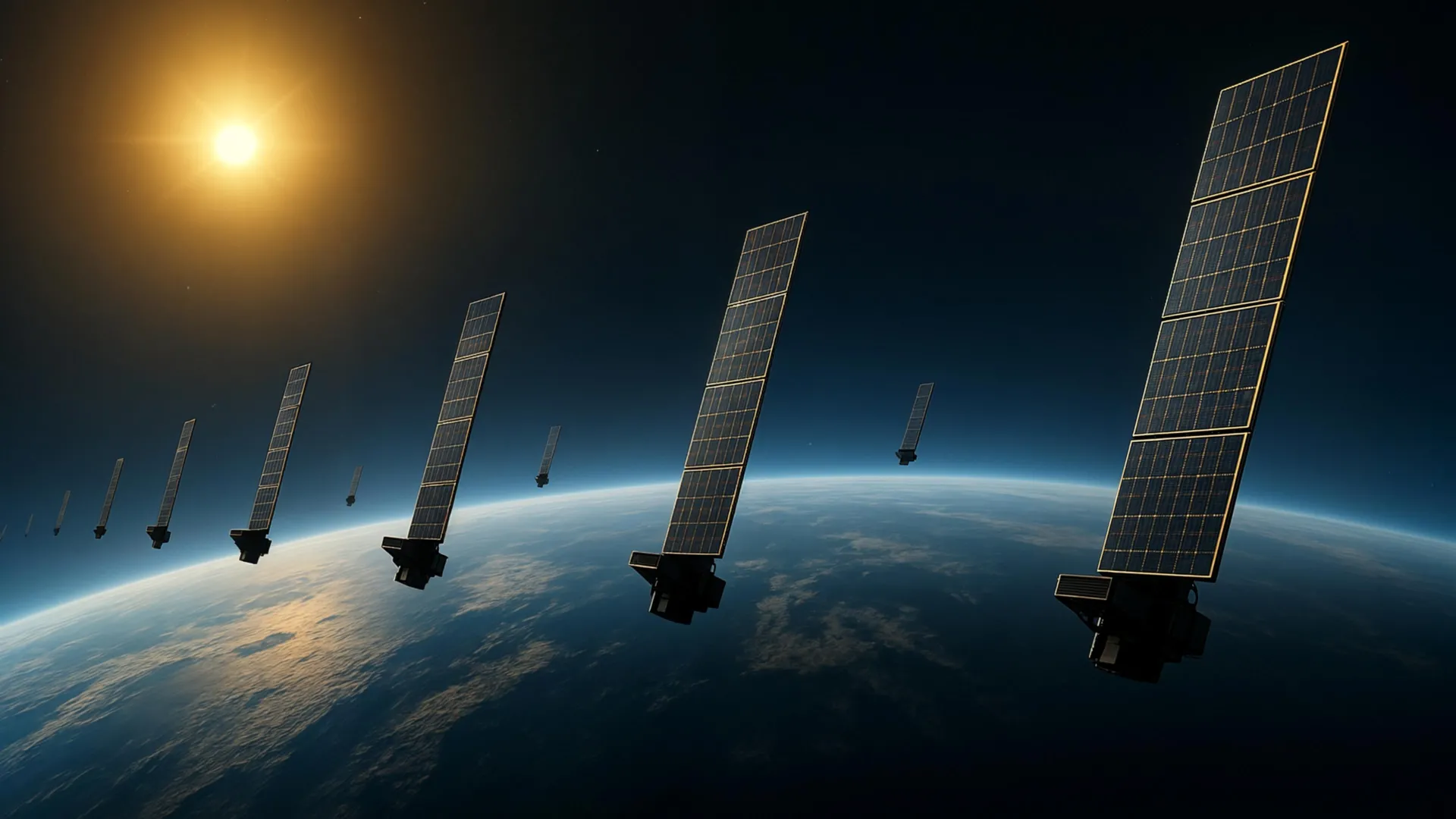
Scientists have devised an innovative approach to measuring conditions in Earth’s thermosphere, the neutral gas layer located 100 to 1,000 kilometers above the planet’s surface. This region has proven difficult to observe directly, yet accurate measurements of atmospheric density at these altitudes are critical for understanding satellite motion and preventing orbital collisions as low Earth orbit becomes increasingly congested with satellites and debris.
Researchers at Kyoto University developed their technique by applying tomography, a method traditionally used in medical imaging, to analyze public orbital data from Starlink satellites. The team examined approximately 1,200 Starlink satellites operating at an altitude of 482 kilometers, using atmospheric drag measurements reflected in gradual orbital decay to estimate thermospheric density. This multidisciplinary effort drew on expertise from both space science and space engineering fields to address challenges that had previously limited observations of this atmospheric layer.
The resulting analysis produced a two-dimensional map showing thermospheric density variations across different latitudes and longitudes at roughly 500 kilometers altitude. This marks the first application of tomographic analysis to this type of atmospheric measurement. The density patterns identified through this method aligned closely with observations gathered by the European Space Agency’s SWARM satellites, which track atmospheric changes along their orbital paths, validating the approach’s accuracy.
This work builds on earlier research by the same team that used orbital data to track how thermospheric density changed over time and altitude. The new analysis adds geographic dimensions to these findings, revealing how density varies horizontally across the planet. As orbital populations continue expanding, these improved atmospheric measurements could enhance predictions of satellite trajectories and reduce collision risks. Researchers suggest the technique could eventually enable near-real-time atmospheric monitoring around satellites, potentially advancing space weather forecasting and supporting more reliable satellite operations.
Article Attribution | Read More at Article Source
Article summary produced by Claude AI