

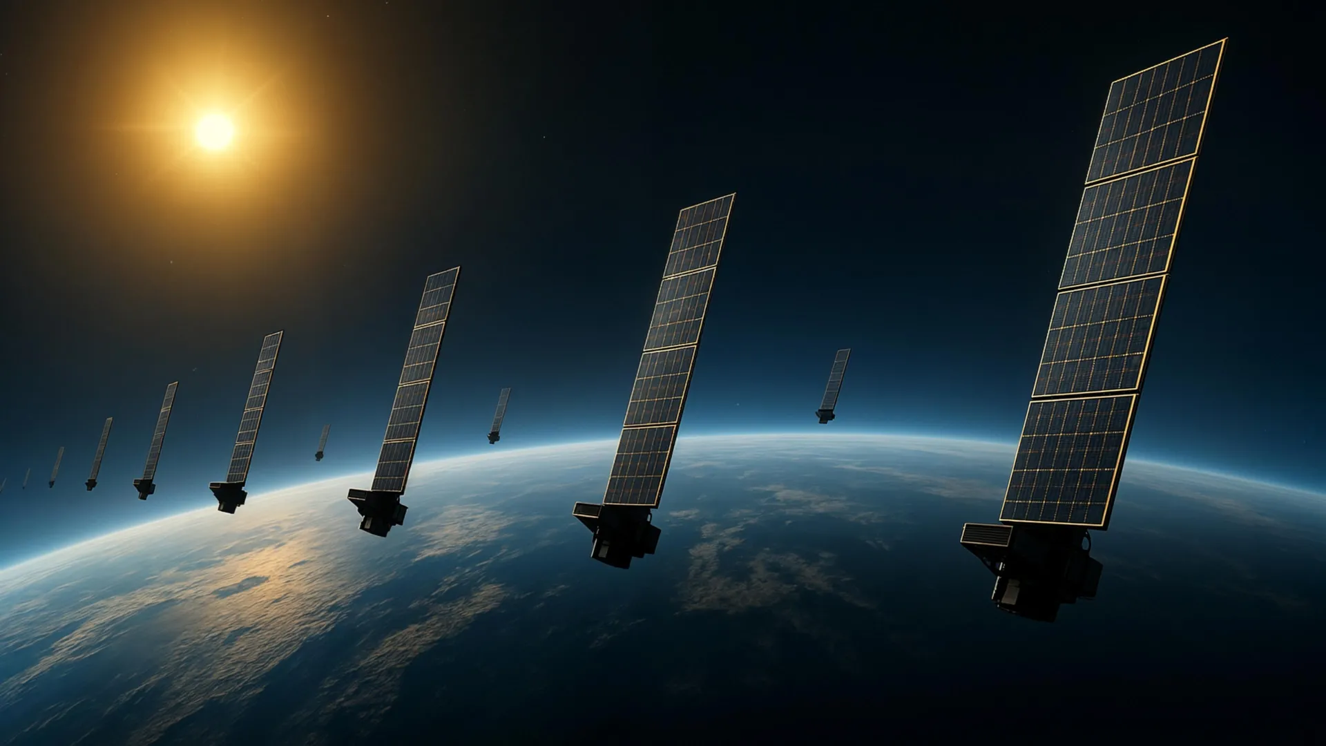
Low Earth orbit is becoming increasingly crowded with satellites and debris, creating collision risks that depend partly on atmospheric density at orbital altitudes. The thermosphere, which comprises over 99 percent of Earth’s upper atmosphere and extends between roughly 100 and 1,000 kilometers above the surface, exerts measurable drag on orbiting objects. Measuring thermospheric density at these heights is challenging because the region consists mainly of electrically neutral gas, unlike the ionosphere below it, which is more readily observable through its effects on radio waves.
Scientists at Kyoto University have developed a novel approach to this measurement problem by repurposing publicly available data from Starlink satellites. The team applied tomography—a technique adapted from medical imaging—to analyze how atmospheric drag gradually decays satellite orbits. By studying approximately 1,200 Starlink satellites orbiting at an altitude of 482 kilometers, researchers estimated thermospheric density variations across different geographic locations.
The analysis produced a two-dimensional map showing how atmospheric density varies with latitude and longitude at roughly 500 kilometers altitude. This represents the first tomographic examination of this type for Earth’s upper atmosphere. The researchers found that their density patterns aligned well with independent measurements from the European Space Agency’s SWARM satellite constellation, which tracks atmospheric changes along its own orbital path. The work builds on earlier findings by the same team, which had previously estimated how thermospheric density changes over time and altitude using general orbital data from Starlink satellites.
The findings carry practical implications for space operations. More precise atmospheric density information can refine predictions of satellite trajectories and orbital decay, thereby reducing collision risks as the population of objects in orbit continues expanding. The technique may eventually enable near-real-time atmospheric monitoring in specific regions, potentially improving space weather forecasting and supporting more reliable satellite operations.
Article Attribution | Read More at Article Source
Article summary produced by Claude AI