

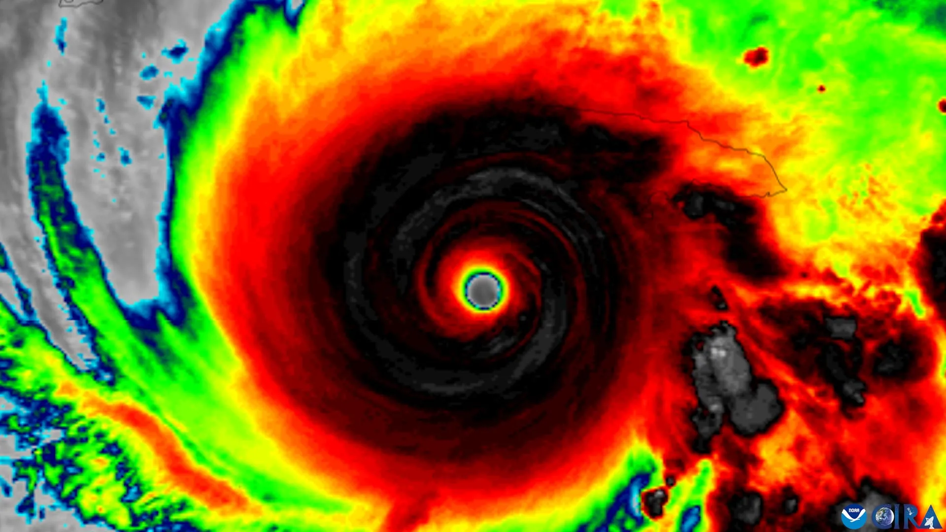
Scientists at the University of Miami’s Rosenstiel School of Marine, Atmospheric, and Earth Science, collaborating with colleagues at NOAA’s Atlantic Oceanographic and Meteorological Laboratory, have identified key indicators that signal when a disorganized tropical cyclone is likely to strengthen. The research team analyzed nearly three decades of observations from NOAA Hurricane Hunter aircraft to determine which physical characteristics precede successful vertical organization in tropical cyclones.
Tropical cyclones require vertical alignment of their rotating centers at different atmospheric levels before they can intensify substantially. When upper-level winds push the top of a storm’s circulation away from its lower-level center, the storm becomes tilted and typically cannot strengthen significantly until these centers realign. The research identified four characteristics associated with successful alignment: a compact, tightly organized circulation near the ocean surface; a storm tilt positioned favorably relative to vertical wind shear; stronger rising air and heavier rainfall near the lower-level center; and an environment with warm ocean water, abundant atmospheric moisture, and relatively weak middle-level winds.
The study drew from the TC-RADAR database, which contains 1,510 radar analyses collected by Hurricane Hunter aircraft across 28 hurricane seasons from 1997 through 2024. Researchers compared storms that successfully achieved vertical alignment with those that remained tilted. Notably, storms that eventually aligned already displayed distinguishing characteristics approximately one day before alignment occurred, including stronger surface-level circulations and more widespread thunderstorms near the lower-level center.
The findings suggest that thunderstorms developing near the lower circulation may actively contribute to storm organization rather than merely indicating that strengthening is occurring. Since NOAA reconnaissance aircraft already collect many of the measurements identified in the study during operational flights, these newly recognized features could help forecasters identify when disorganized tropical cyclones are transitioning toward structures favorable for intensification. Even modest improvements in forecast confidence one day earlier could provide communities in a storm’s path with additional time for evacuation preparations and emergency response planning.
Article Attribution | Read More at Article Source
Article summary produced by Claude AI