

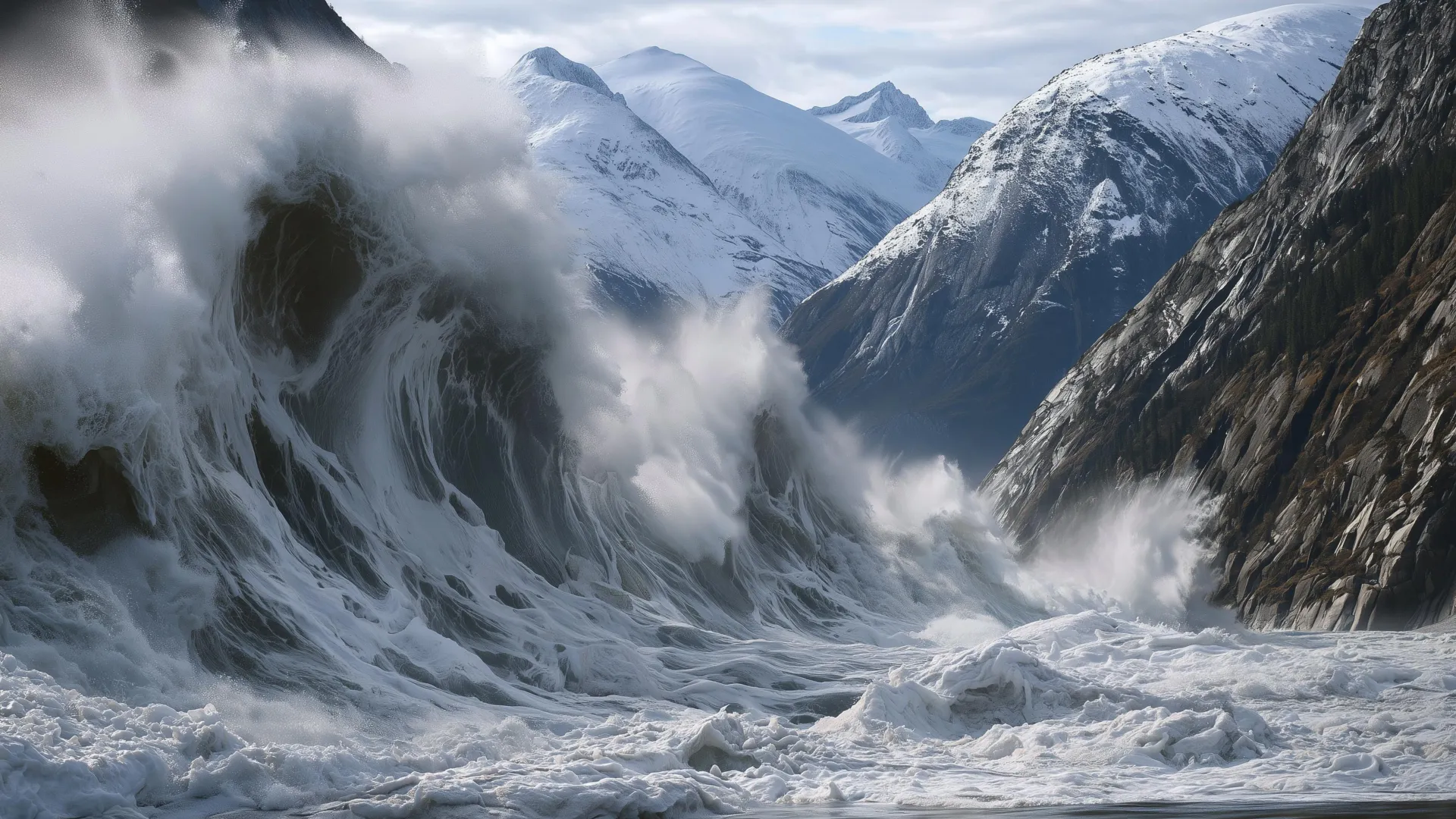
On the morning of August 9, 2025, a significant geological event unfolded in Alaska when a landslide originating from a mountain adjacent to South Sawyer Glacier collapsed into a fjord. The resulting tsunami reached an extraordinary height of 1,580 feet on the opposite side of the fjord before continuing down Tracy Arm. This event marked the second-highest tsunami documented in recorded history. The extreme force of the water stripped the walls of the fjord down to bare rock. Fortunately, the event occurred early in the morning when no vessels were present in the immediate vicinity, preventing loss of life.
Researchers from the Alaska Earthquake Center indicate that the conditions leading to this event are not unique to this location. Landslide activity is common along Alaska’s coastal mountains, where multiple factors combine to create instability. Rapid tectonic uplift combined with long-term ice loss interacts with erosive forces from precipitation and glacier movement. A notable pattern has emerged recently, with major landslides occurring specifically at glacier termini, suggesting mountain instability increases as ice disappears. When rock masses enter the water, their momentum transfers into tsunami waves, a phenomenon occurring across Arctic regions including Alaska, Greenland, and Norway, sometimes with fatal consequences.
Analysis of the Tracy Arm event reveals several warning signs that preceded the collapse. The glacier in the area experienced rapid calving and retreated more than a third of a mile in the two months before the landslide. Heavy precipitation had been falling, with rainwater entering mountain fractures and increasing pressure in cracks, pushing the slope toward failure. Thousands of small seismic tremors occurred in the days preceding the collapse. Researchers contend these indicators could have supported a progressive alert system had monitoring infrastructure existed, potentially providing notifications to ships and coastal communities at least one day before failure.
The research team proposes implementing an escalating alert system similar to those used for avalanches and volcanic activity. Such a system could issue yellow alerts when weather and glacier conditions indicate temporarily elevated hazard levels, orange alerts when seismic activity intensifies, and red alerts when a landslide is actively occurring. Establishing such a system would require cooperation among state and federal agencies and enhanced monitoring networks. While alert systems cannot eliminate risk entirely, researchers argue they represent a more viable solution than avoiding extensive coastal areas or accepting poorly understood hazards, allowing communities and visitors to make more informed decisions about Arctic fjord access.
Article Attribution | Read More at Article Source
Article summary produced by Claude AI