

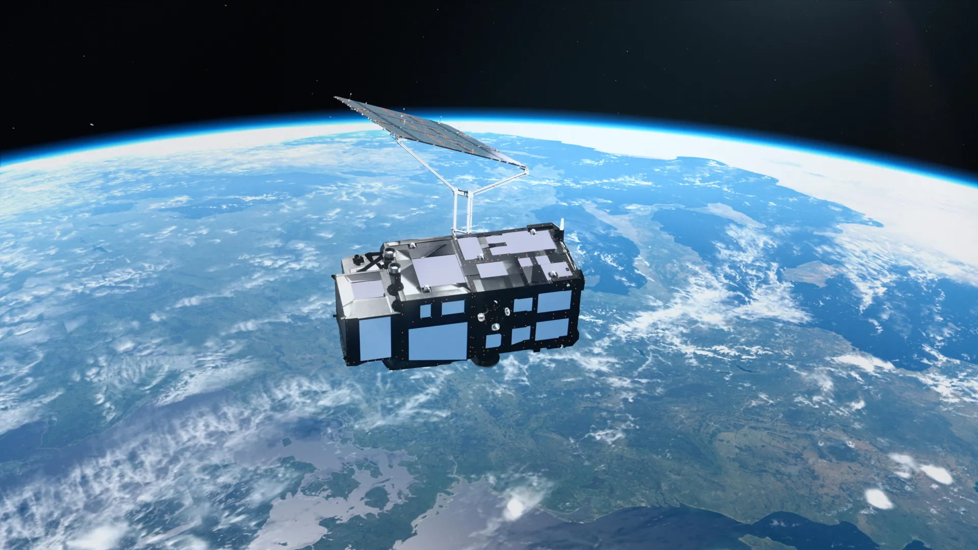
The Copernicus Sentinel-3C satellite, which reached orbit two weeks prior, has delivered initial imagery and measurements demonstrating its operational readiness. The spacecraft represents the third satellite in Europe’s Sentinel-3 series and forms a central component of the broader Copernicus Earth observation program. While the European Space Agency continues a detailed commissioning process expected to extend another five months, the satellite’s early performance has yielded encouraging results across multiple instrument systems.
Sentinel-3C carries instruments designed to continuously gather data about oceans, land, atmospheric conditions, and polar regions. Over ocean areas, the mission measures sea surface temperature, water color, elevation, and sea ice characteristics. These observations support investigations into marine pollution, marine heatwaves, and changing ocean conditions. On land, instruments provide information regarding drought conditions, wildfires, vegetation health, and land use patterns. The mission also monitors water levels in rivers and lakes alongside changes in polar ice sheet elevations, contributing to weather forecasting and long-term climate trend analysis.
Initial imagery captured on September 29 and 30 showcase diverse global environments. One image reveals Italy’s varied landscapes, including the snow-covered Alps, the Po Valley’s agricultural regions, and surrounding Mediterranean waters with visible sediment patterns. A second image displays the Canadian Arctic Archipelago with its snow-covered islands and exposed fjords near the period of seasonal sea ice minimum. A third image shows the Caribbean region, with shallow turquoise waters around Cuba and the Bahamas contrasting against deeper ocean blue, demonstrating the instrument’s ability to distinguish water depth variations.
Beyond visual observations, Sentinel-3C’s radar altimeter has begun collecting precise ocean surface height measurements across the Atlantic and Mediterranean regions. Comparison of these early measurements against established multimission sea-level data from the Copernicus Marine Service demonstrates good agreement with existing observations, confirming proper altimeter operation. Once commissioning concludes, the satellite will contribute to global sea-level monitoring alongside other established missions including Copernicus Sentinel-6 and Jason. Satellite measurements have established that global sea levels have risen an average of 3.64 mm annually since 1999, with the rate of increase accelerating in recent years.
Article Attribution | Read More at Article Source
Article summary produced by Claude AI