

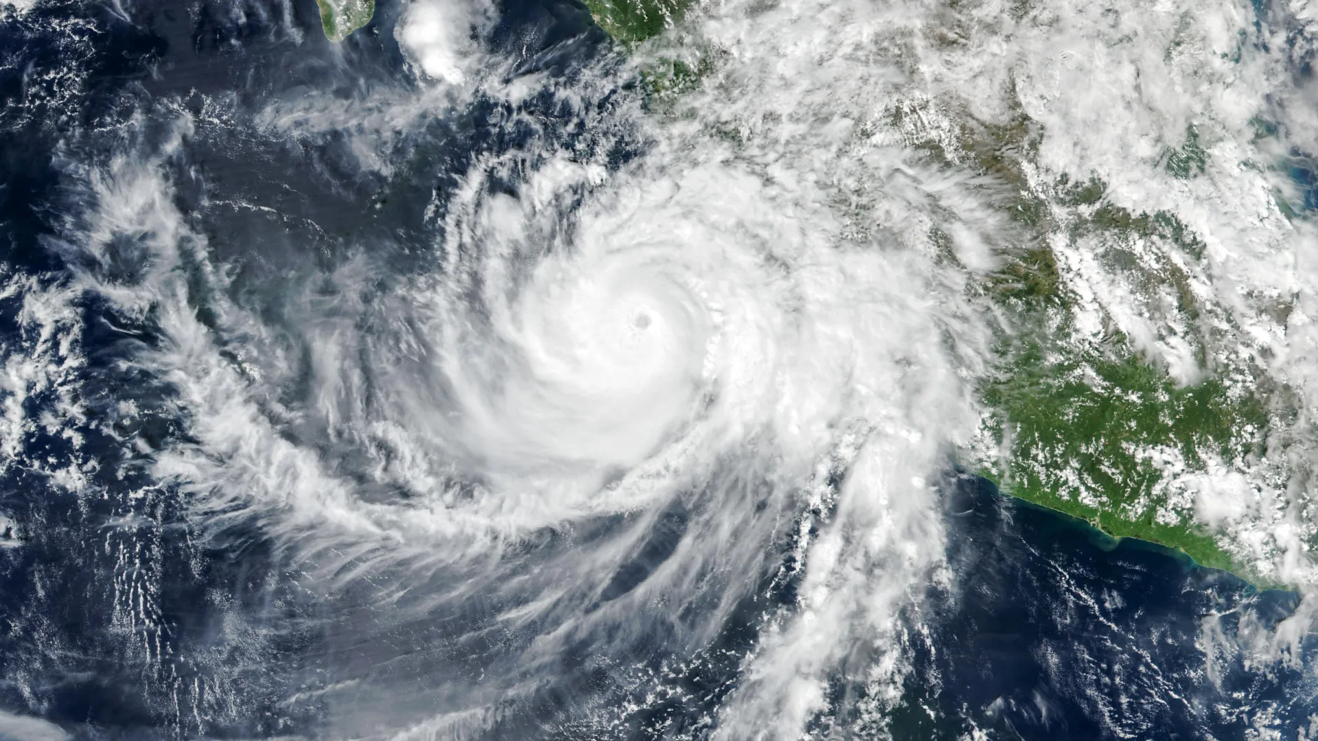
Hurricane Simon emerged as a significant tropical cyclone during the 2026 Atlantic hurricane season, reaching Category 4 strength as it approached Mexico’s Pacific coast. On October 11, 2026, the storm maintained sustained winds of approximately 210 kilometers per hour while positioned roughly 50 kilometers offshore between the coastal cities of Manzanillo and Puerto Vallarta. The hurricane brought substantial precipitation and flooding to coastal communities, with the Sierra Madre mountains helping to reduce the storm’s intensity and affected area. Heavy rainfall also increased mudslide risks in mountainous terrain.
During this period, NASA’s satellite instruments detected an unusual atmospheric phenomenon occurring far above the hurricane. NOAA-21’s VIIRS imaging captured atmospheric gravity waves spreading outward from the storm in the upper atmosphere. These waves form when intense convective activity within the hurricane—particularly the release of latent heat near the eyewall—forces warm, moist air upward and creates towering cloud formations. The strong vertical air movements within these clouds then disturb the surrounding atmosphere, generating waves that travel upward through the stratosphere and mesosphere.
Atmospheric gravity waves, unlike ocean waves that move through water, represent disturbances propagating through air with gravity serving as a restoring force. Satellites can typically detect these waves through their effects on airglow, a natural faint light produced by atmospheric gases at high altitudes. When gravity waves pass through airglow regions, they create subtle brightness variations that reveal their ripple patterns. However, strong winds at elevated altitudes often weaken or disperse such disturbances before they become visible.
In Simon’s case, unusual atmospheric conditions allowed exceptionally clear observation of the phenomenon. The VIIRS day-night band proved sensitive enough to detect the faint airglow patterns, and minimal moonlight illumination that evening allowed the delicate ripples to stand out distinctly against the night sky. Such favorable observational circumstances make these detailed atmospheric wave images relatively uncommon.
Meteorologists continued tracking Simon’s trajectory with acknowledged uncertainty, as the storm had behaved unpredictably compared to forecasting models. Predictions suggested a possible northward turn into the Gulf of California with eventual landfall, though confidence in track and intensity forecasts remained notably low. Large ocean swells generated by the hurricane were expected to create hazardous maritime conditions along portions of Mexico’s southwestern and west-central coastlines in the following days.
Article Attribution | Read More at Article Source
Article summary produced by Claude AI